WALK FROM
WAINFLEET
Thursday 1st
September 2011
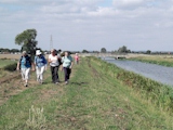
 Despite
a weather forecast of a mainly cloudy day a group of 6 members enjoyed a
8 mile walk in almost unbroken sunshine.
Despite
a weather forecast of a mainly cloudy day a group of 6 members enjoyed a
8 mile walk in almost unbroken sunshine.
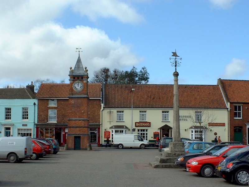
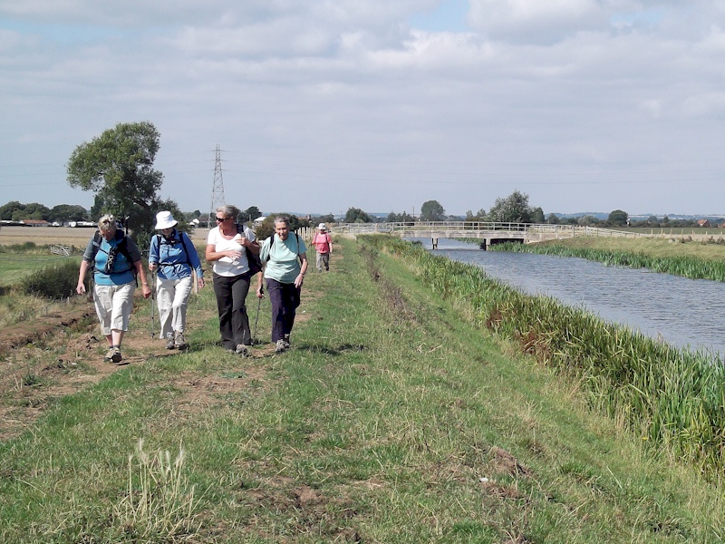
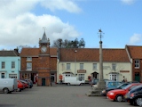
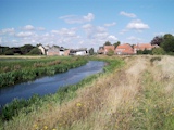
Setting off at 10 am the walk began from the 'Buttercross'
limestone monument in Wainfleet Market Place and took us along High
Street and Spilsby Road to join a footpath running along the northern
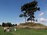
edge of the cemetery. Ahead of us was the view of a tree-topped mound
built centuries ago to aid the navigation of ships in to Wainfleet's
ancient port. Turning on to Croft Lane and Mount Pleasant, we then
joined a public footpath to pass to the south of the aforementioned
mound to reach Skegness Road.
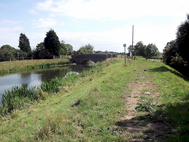
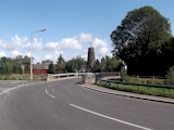 Following
a roadside path back towards the town, we turned on to Rumbold Lane
before joining a footpath to Dovecote Lane. Crossing the Skegness to
Boston railway line we then followed a riverside path to reach Church
Lane and then along Havenside to reach Salem Bridge.
Following
a roadside path back towards the town, we turned on to Rumbold Lane
before joining a footpath to Dovecote Lane. Crossing the Skegness to
Boston railway line we then followed a riverside path to reach Church
Lane and then along Havenside to reach Salem Bridge.
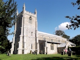
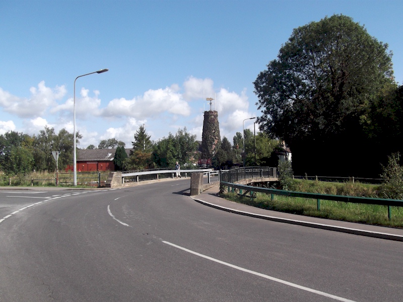
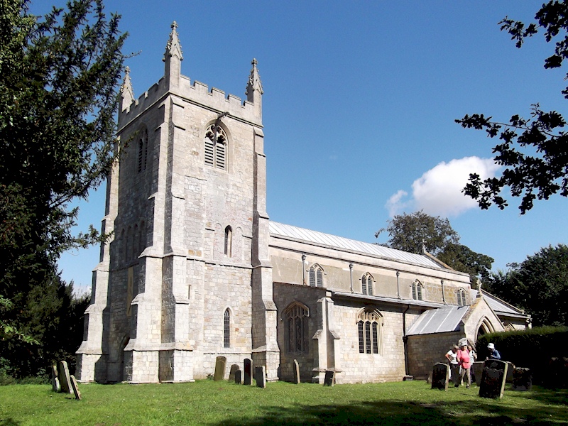
 Heading
away from the town along Boston Road we passed a second navigational
mound and then turned on to a footpath to take us to Groose Lane and
then on to St Michael's Lane. Crossing arable fields to reach Abraham's
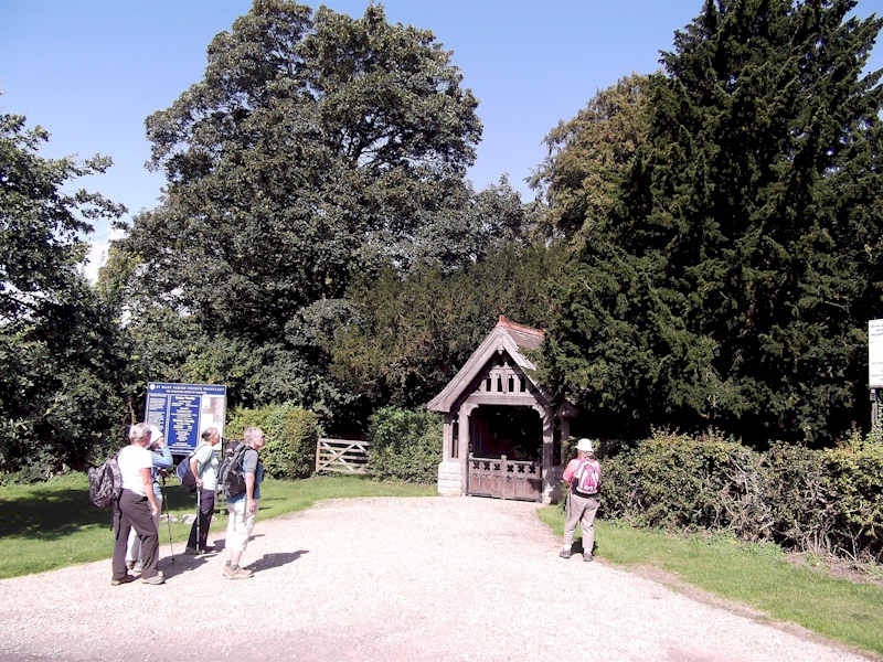
Lane we then used Low Road and Hallgate to reach Wainfleet St Mary
church where the group stopped for lunch.
Heading
away from the town along Boston Road we passed a second navigational
mound and then turned on to a footpath to take us to Groose Lane and
then on to St Michael's Lane. Crossing arable fields to reach Abraham's
Lane we then used Low Road and Hallgate to reach Wainfleet St Mary
church where the group stopped for lunch.
 Following
lunch, we headed north to pass over the site of the medieval town of
Wainfleet to reach Wainfleet Bank. Turning east, we crossed the old
river course at the next footbridge to reach the site of the old
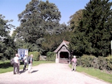
Wainfleet All Saints church which was demolished in 1820. Heading
north across Wainfleet Common we turned right along a lane to reach
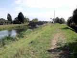
Bycroft's Bridge where an information board is located. Turning right
along a permissive riverside path to reach Crow's Bridge we then
followed Mill Lane before taking a footpath to reach Matt Pits Lane.
Turning on to Church Walk we headed east to arrive opposite Wainfleet
All Saints church and then turned left to follow the road back to the
starting point where we arrived at 2 pm.
Following
lunch, we headed north to pass over the site of the medieval town of
Wainfleet to reach Wainfleet Bank. Turning east, we crossed the old
river course at the next footbridge to reach the site of the old
Wainfleet All Saints church which was demolished in 1820. Heading
north across Wainfleet Common we turned right along a lane to reach
Bycroft's Bridge where an information board is located. Turning right
along a permissive riverside path to reach Crow's Bridge we then
followed Mill Lane before taking a footpath to reach Matt Pits Lane.
Turning on to Church Walk we headed east to arrive opposite Wainfleet
All Saints church and then turned left to follow the road back to the
starting point where we arrived at 2 pm.
[ Ramblers ] [ Walking Routes ] [ Information ] [ Tourism ]