WALK FROM
SANDILANDS
Sunday 18th
April 2010
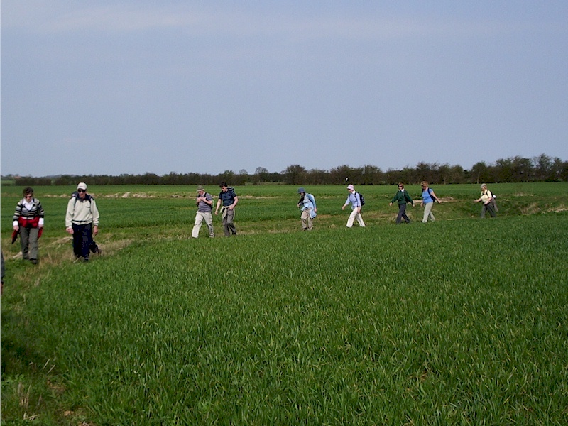
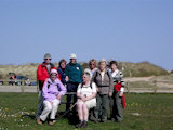
 On
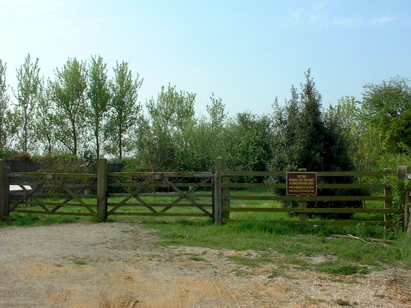
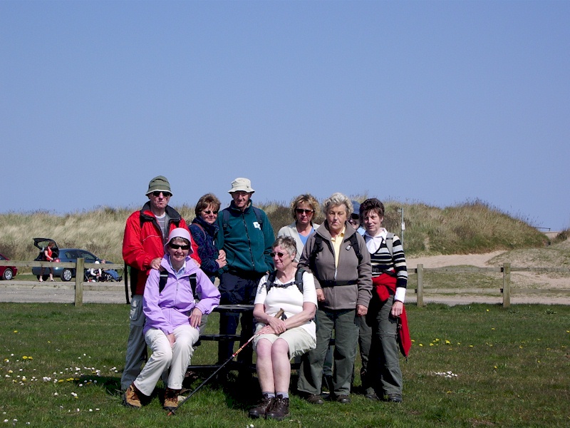
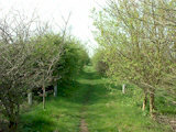
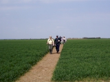
a fine, mainly sunny day with a light chilly breeze a group of 16
walkers set off from the Sutton Branch Line Walkway car park on a 15.8
km/9.8 mile circular walk. This walkway is part of the former Sutton to
Willoughby railway line which opened in 1886 and closed in 1970.
Extending south for just over a mile, this walkway is now a nature
reserve run by the parish council.
On
a fine, mainly sunny day with a light chilly breeze a group of 16
walkers set off from the Sutton Branch Line Walkway car park on a 15.8
km/9.8 mile circular walk. This walkway is part of the former Sutton to
Willoughby railway line which opened in 1886 and closed in 1970.
Extending south for just over a mile, this walkway is now a nature
reserve run by the parish council.

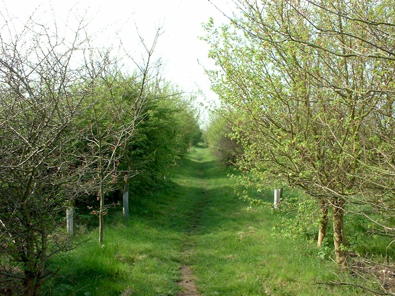
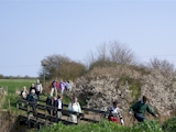
 Walking
the length of the walkway, we then turned west onto Crawcroft Lane which
we followed for 1 km to reach a roadbridge over the Boy Grift Drain. Turning
south just before the bridge onto a 'other route with public access' we proceeded along the drain
to reach Mill Lane from where we joined public footpath Huttoft 14.
Walking
the length of the walkway, we then turned west onto Crawcroft Lane which
we followed for 1 km to reach a roadbridge over the Boy Grift Drain. Turning
south just before the bridge onto a 'other route with public access' we proceeded along the drain
to reach Mill Lane from where we joined public footpath Huttoft 14.
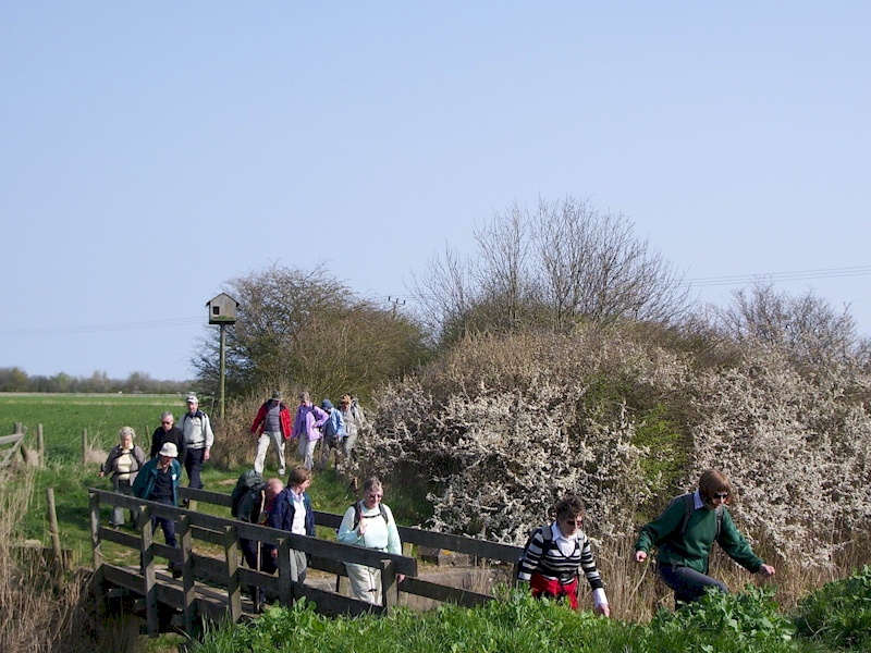
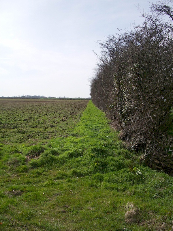
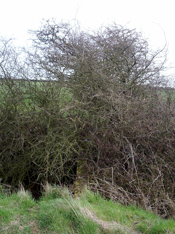
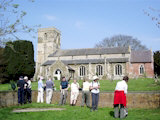
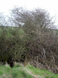 Turning right on to footpath 11, we struggled to cross a dyke where the
footbridge is obstructed by bushes making it unusable. We then turned
left on to footpath Huttoft 12 and followed this to once again encounter
the course of the old Sutton to Willoughby railway line. Following a
newly cleared path across the railway line we followed this to Alford
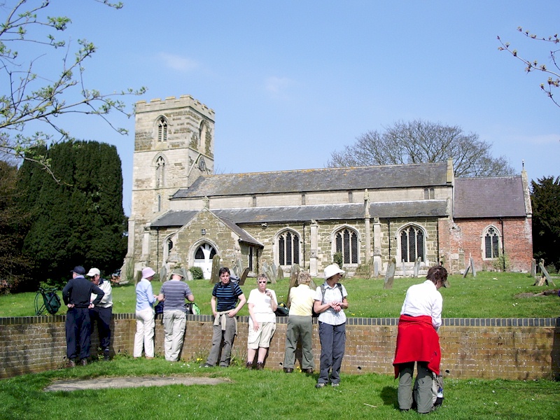
Road, Huttoft and proceeded to Huttoft church were the group stopped for
a coffee break.
Turning right on to footpath 11, we struggled to cross a dyke where the
footbridge is obstructed by bushes making it unusable. We then turned
left on to footpath Huttoft 12 and followed this to once again encounter
the course of the old Sutton to Willoughby railway line. Following a
newly cleared path across the railway line we followed this to Alford
Road, Huttoft and proceeded to Huttoft church were the group stopped for
a coffee break.
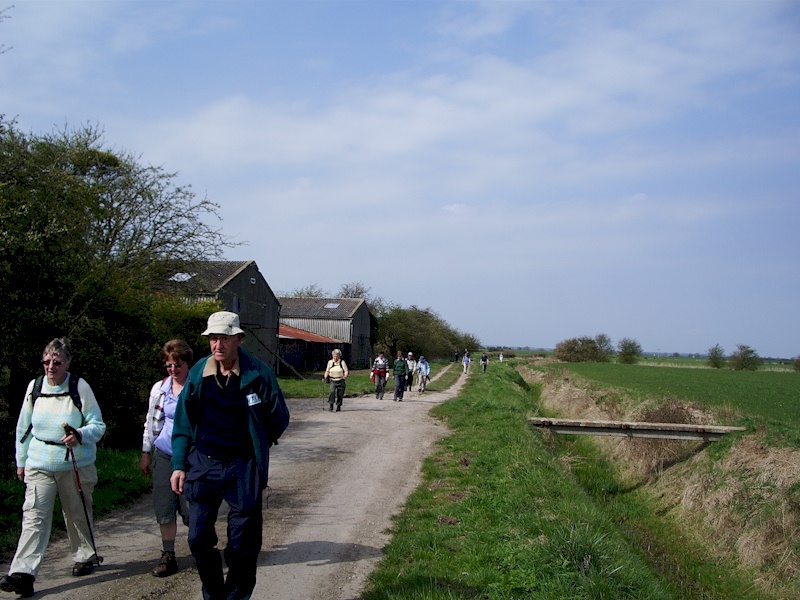
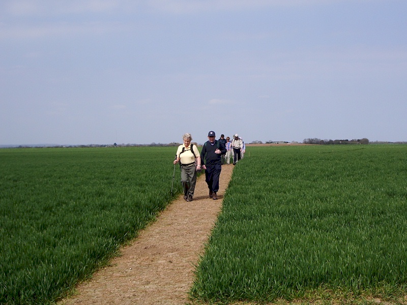
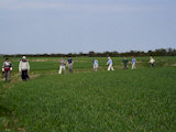
 Walking
through the village, we joined footpath Huttoft 2 and followed its
non-contiguous segments to Jolly Common Lane, Eastfield Farm and then on
to Roman Bank. It was then just a short walk to the Mogg's Eye picnic
site where the group stopped for our lunch break.
Walking
through the village, we joined footpath Huttoft 2 and followed its
non-contiguous segments to Jolly Common Lane, Eastfield Farm and then on
to Roman Bank. It was then just a short walk to the Mogg's Eye picnic
site where the group stopped for our lunch break.
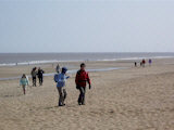
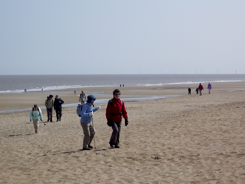
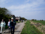
 Crossing
to the beach, we headed north along the sands to the far end of the
Huttoft Car Terrace from where we climbed to the sea defence wall which
was followed along the coast to Sandilands. Turning west off the sea
wall we crossed Roman Bank and then used footpaths Mablethorpe &
Sutton 339 & 338 to reach the A52 and then footpath 335 to return to
our starting point.
Crossing
to the beach, we headed north along the sands to the far end of the
Huttoft Car Terrace from where we climbed to the sea defence wall which
was followed along the coast to Sandilands. Turning west off the sea
wall we crossed Roman Bank and then used footpaths Mablethorpe &
Sutton 339 & 338 to reach the A52 and then footpath 335 to return to
our starting point.
[ Ramblers ] [ Walking Routes ] [ Information ] [ Tourism ]